logo.png
Africa  Akita  Alaska  Australia  Cambodia  Canada  Code  Costa Rica  Dance  Discrimination  Education  Food  Hawaii  Hiking  Hokkaido  Hungary  Indonesia  Ireland  Japan  Japanese  Jordan  Malaysia  Math  Motorcycle  Music  Nature  New Zealand  Newspaper  Nicaragua  Norway  Qatar  Recipe  School  Shawangunks  South Korea  Sports  Taiwan  Thailand  Tokyo  Travel  USA  Vietnam

Madagascar

2026-08-12

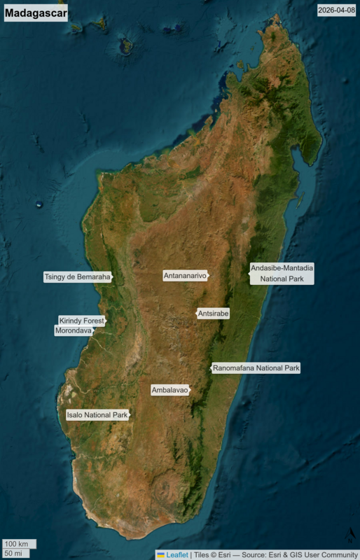
It takes a long time to get to Madagascar and equally long to get around once you're there. The plane flight takes forever and the local roads are shockingly rough. Betsy and Dex and I went for a three-week trip to see what we could see. We went, in order, to the southwest, the southeast, the west, and the east.
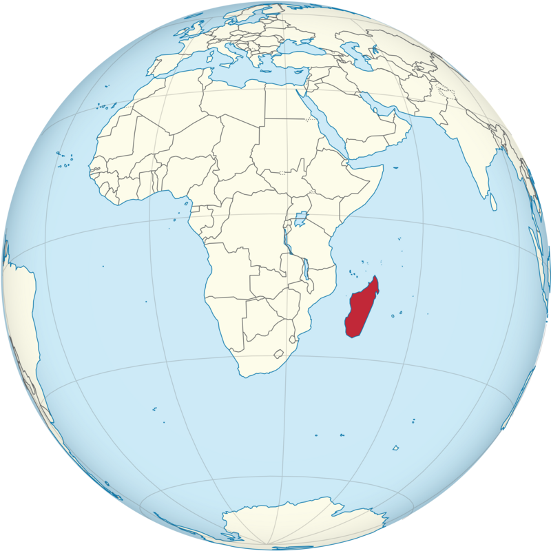
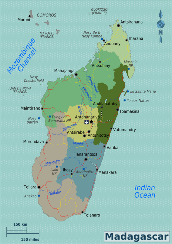
20260810.1.Madagascar.png 20260810.2.Madagascar.png 20260810.3.Madagascar.png

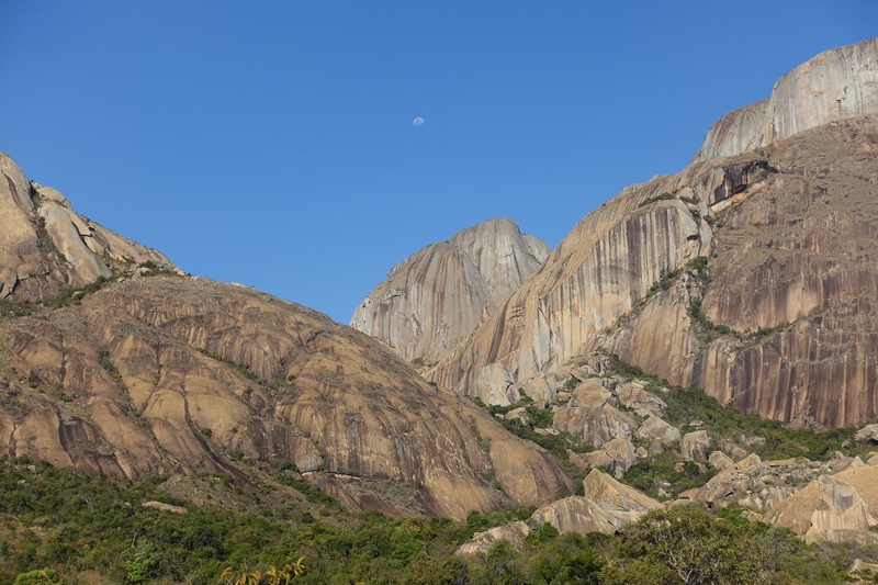
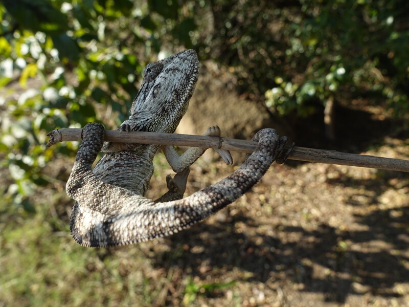
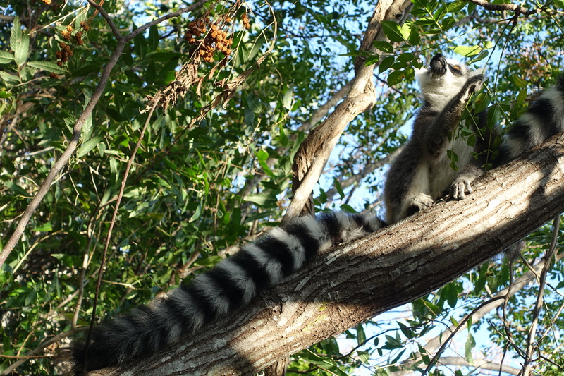
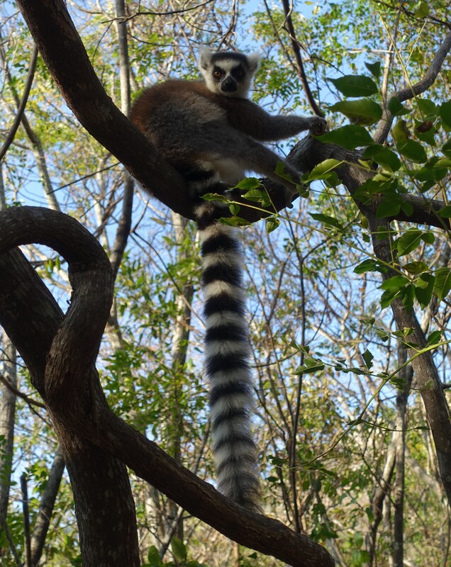
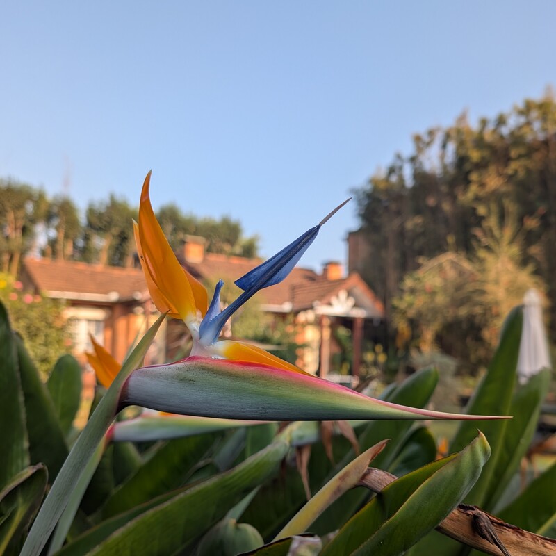
Isalo National Park and Anja Nature Reserve are in the dry southern highlands. Local ranchers raise zebu (indecine cattle) for food, and zebu is a staple of Malagasy cuisine (along with rice and beans), but up in the mountains there is other wildlife to be seen. The pachy podium (bottle tree) has an exotic look, and animals we saw include the ring-tailed lemur, brown lemur, Verreaux's sifaka (white sifaka), magpie robins, and a variety of chameleons.
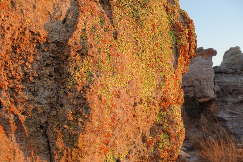
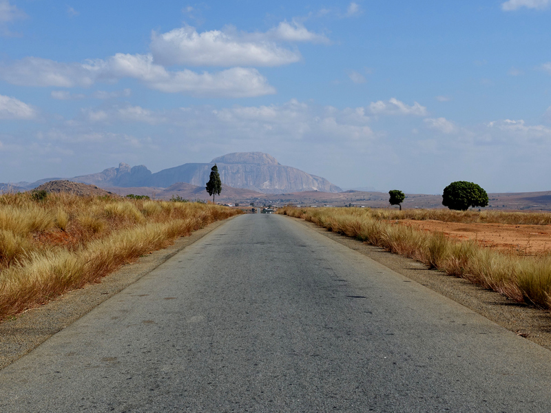
20260723.1.Isalo.jpg 20260725.1.Road.jpg 20260725.2.Anja.jpg 20260725.3.Chameleon.jpg 20260725.4.Lemur.jpg 20260725.5.Lemur.jpg 20260730.1.Paradise.jpg

After several days in the highlands we drove east to Ranomafana National Park. Jungle lighting isn't ideal for amateur photography, but we got to see a lot over two night walks and also two day hikes, such as the blue-legged chameleon, O'Shaughnessy chameleon, elephant eared chameleon, nose-horned chameleon, brown mouse lemur, woolly lemur, golden bamboo lemur, Milne-Edwards' sifaka, black and white ruffed lemur (which looked like Dex with his wild beard and hair), red-fronted brown lemur, ring-tailed mongoose (which is not actually a mongoose), common bush brown butterfly, eyed ringlet butterfly, paradise flycatcher, pitta-like ground roller, red-tailed vanga, white-headed vanga, and a ridiculously well-camouflaged leaf-tail gecko.

After that, we drove to Antsirabe one day, Antananarivo the next, and took a day trip to King Andrianampoinimerina's summer palace in Ambohimanga before flying west to Morondava.
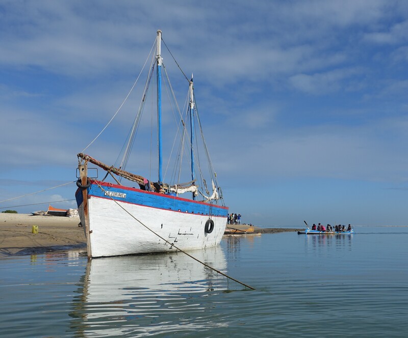
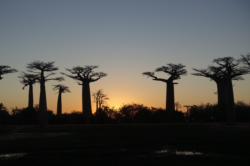
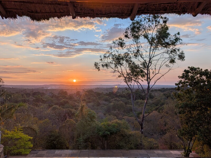
20260801.1.Morondava.jpg 20260801.2.Baobab.jpg 20260802.1.Ferry.jpg 20260802.2.Sunset.jpg 20260804.1.Sunset.jpg 20260804.3.Tsingy.jpg 20260804.4.Tsingy.jpg 20260805.1.Manambolo.jpg 20260805.2.Forest.jpg

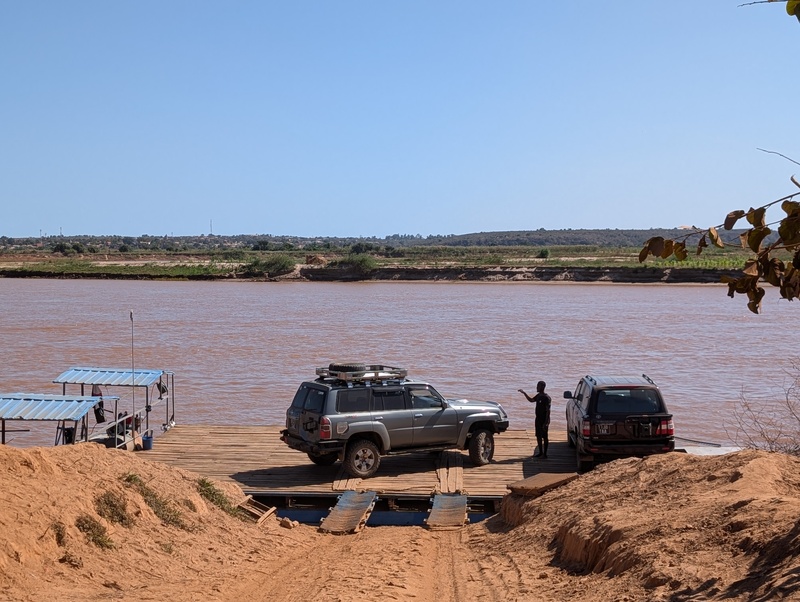
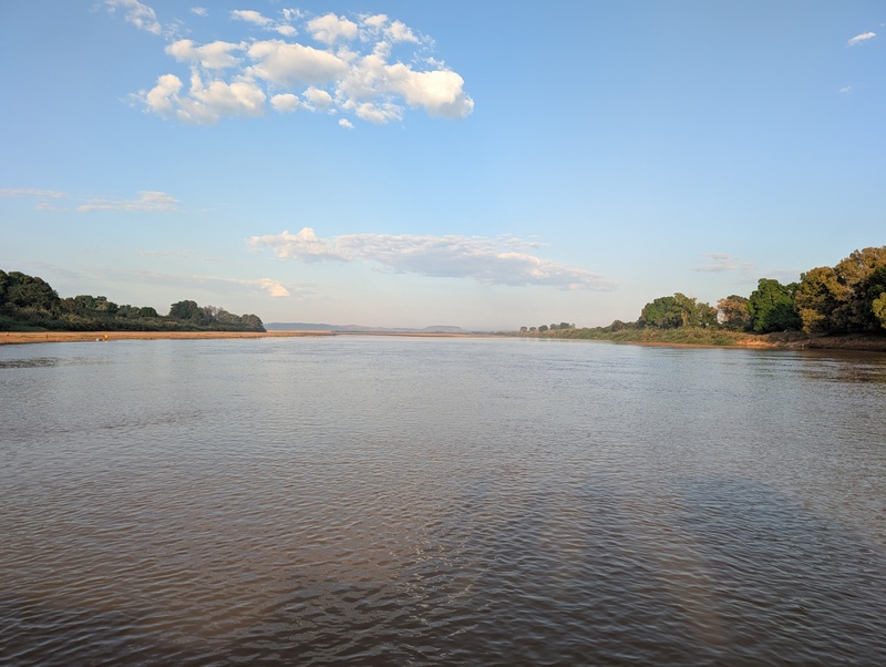
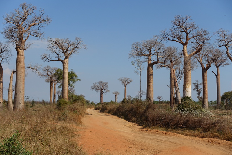
National Route 8 is a national highway, or so it says on the map, but if you were to drive north from Morondava, not long after passing Avenue of the Baobabs and Baobab Forest the road turns into a dusty jeep track. Then, just for extra adventure, there are two river crossings (the Tsiribihina River and the Manambolo River). Of course there are no bridges. Instead, the locals have fabricated ferries by strapping planks and metal bars across a couple of boats. When you get to the ferry, you get out of your car and watch your driver drive onto the platform, wondering if this car will join several others than have fallen off the ferry and into the muddy river bottom below. Most of the time, nothing so disastrous happens, so you get on the ferry, as we did, and continue on til evening. Right in the middle of the day we had lunch at the Mad Zebu, said (by some) to be the best restaurant in Madagascar. Certainly I was impressed with the food.

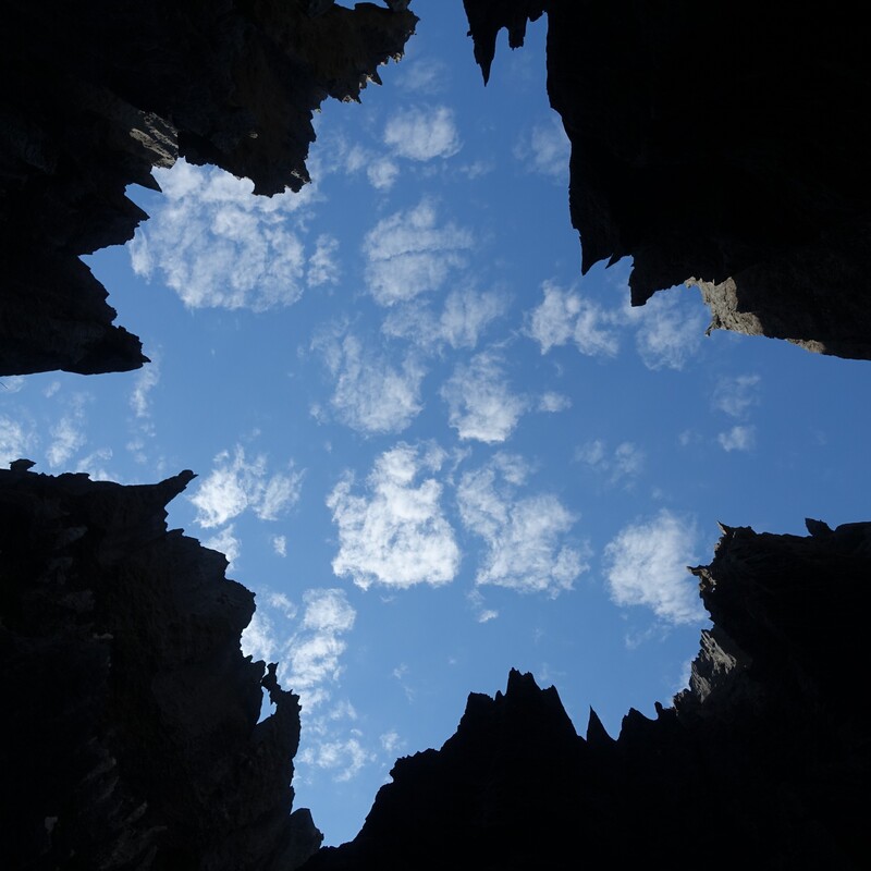
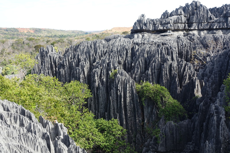
The next two days we visited Tsingy de Bemaraha National Park. The tsingy is a karstic rock formation where the limestone has vertical lines and sharp points at the top. There are two tsingy formations in this park and some others farther north in the country. We went on a canoe ride and hike (Petit Tsingy) our first day, and then a longer hike (Grand Tsingy) our second day. The focus here was geology, because Dex is a geologist, but biology was there for the viewing, too: the pachy podium, juba tree, strangle fig, black-winged stilt, knob-billed duck, dimorphic egret, Manavi long-fingered bat, green pigeon, forest rock thrush, paradise flycatcher, Madagascar coucal, crested coua, Malagasy giant chameleon (furcifer oustaleti), green gecko, antlion, and (because it's Madagascar) Decken's sifaka (white sifaka) and a red-tailed sportive lemur. The lemur is nocturnal, and we spotted it sitting sleepily in a tree nook, hoping we'd quickly leave. Which we did, because the Grand Tsingy was waiting, and along with checking out the limestone, we got to squeeze through cracks and crawl under things and climb up ladders and all sorts of strenuous activities. It's a beautiful area.

The road south was somehow worse than the road north. One aggravating factor is that somebody shot our car while we were driving along. That was a first for all of us. Fortunately, the bullet hit the driver's door and not the driver's window. At the time we didn't know what it was... We heard the noise and thought maybe the car is breaking (which happens a lot on that road) or a rock bounced off something (which happens a lot on that road), but some minutes later when we stopped for lunch, the bullet-shaped dent in the side panel was plain to see. Apparently that stretch of the road used to be even worse, the locals said, before they opened a new army base nearby. Anyway, after lunch at a fine French restaurant and another ferry ride, we continued south, and not long after the Baobab Forest the car broke down (which happens a lot on that road). Our driver had all the parts in the back, so he jacked it up, replaced the left-front bearing, lowered it down, and we hit the road an hour later, passed Avenue of the Baobabs just after sunset, and returned to Morondava for the evening. That was National Route 8.
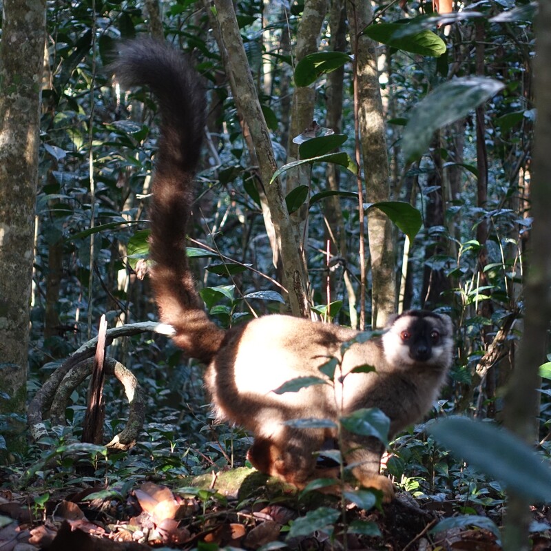
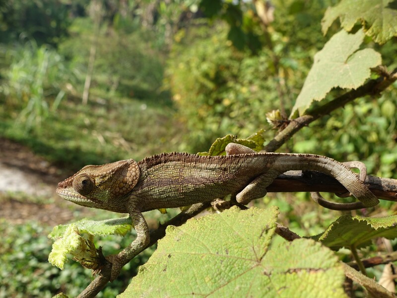
20260807.1.Brown.jpg 20260808.1.Elephant.jpg

For the last leg of the trip, we flew to Antananarivo and drove east to Andasibe. The rain forest was similar to Ranomafana, but it's farther north, so you get to see different wildlife. We encountered the Goldman's mouse lemur, woolly lemur, brown lemur, diademed sifaka (golden sifaka), indri indri, elephant eared chameleon, and various birds. The indri indri sing in harmony several times each day. Going out to see wildlife is always a dice roll; even with experience guides (which we had), there are no guarantees for what you'll see on any given day. But overall, with multiple days and nights in multiple jungles, we got to see our fair share of the wildlife. A lot of these animals are only endemic to Madagascar (as the guides like to mention), so if you want to see them in the wild, take a trip down here someday.

Diving in Ishigaki

2025-12-29

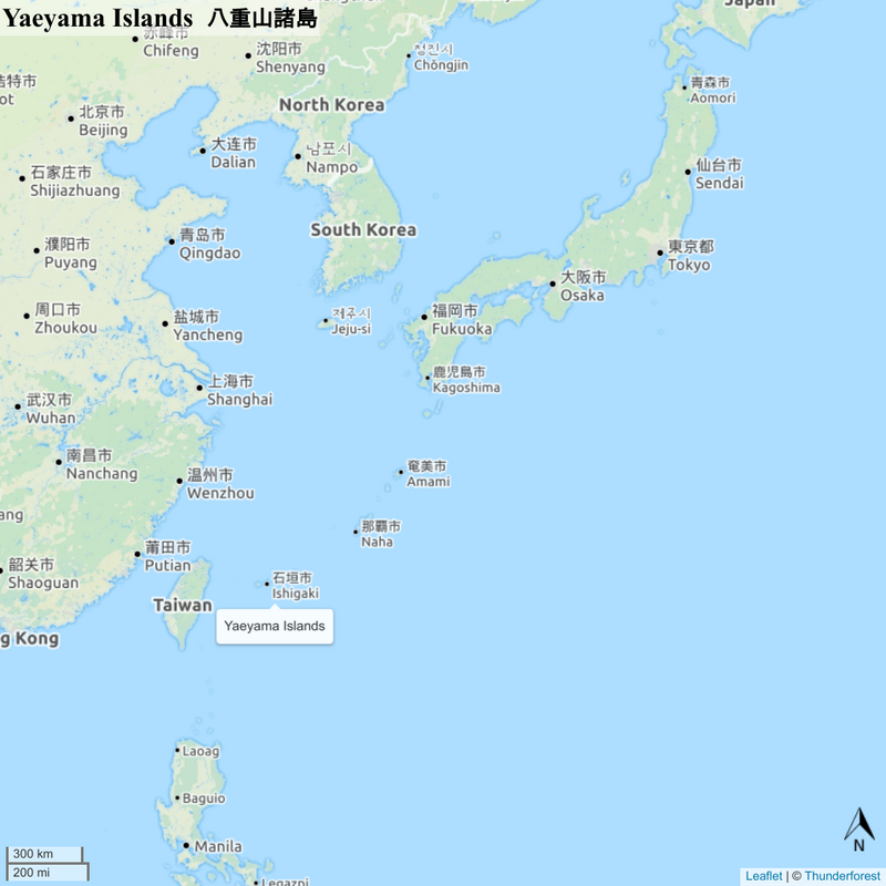
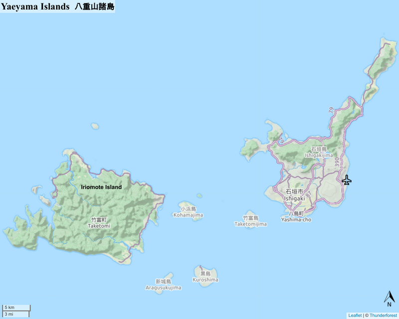
For some reason the highest mountain in Okinawa is not on the main island, but rather far to the southwest on the less-visited island of Ishigaki, a summit by the name of Mt. Omoto. The mountain itself is not famous — people usually don't go to Ishikawa for hiking — but you can if you care to.

The last time I visited this place was in late 2019. Certainly things have changed in the last six years. If you read the newspaper, they'll tell you that things are changing faster than ever in the modern world. But that's not what it feels like down here. The things that make this place nice to visit — friendly people, scuba diving, nature, Okinawan food — feel similar to my previous visit.

For three days I went scuba diving. The dive boats leave from the port on Ishigaki, and there are dive sites around all of the nearby islands — Taketomi, Iriomote, Kohama, Kuroshima, Aragusu, and Ishigaki itself. Scuba diving is a magical thing, difficult to describe in words. It's a lot quieter under water, for one. And then the colors are all kinds of exciting — blue tends to dominate, especially at depth, but brilliantly colored coral and fish are all around as well. One neat thing about Ishigaki is the small things to find, and if you're with a knowledgeable dive buddy or dive master, they'll point to something, you come over and stare at it for two minutes, and finally you will see a little shrimp smaller than your pinky nail, or translucent tubes that look like tiny smiley faces, or who knows what it might be. Sometimes you'll stare for two minutes and can't figure it out, and they'll tell you when you're back on the boat. Anyway, there's some nice diving down here.

20251223.1.Ishigaki.jpg 20251223.2.Ishigaki.jpg 20251223.3.Diving.jpg 20251223.4.Diving.jpg 20251223.5.Diving.jpg 20251224.1.Divers.jpg 20251224.2.Clownfish.jpg 20251224.3.Turtle.jpg 20251225.1.Doug-Koki.jpg 20251225.2.Shrimp.jpg 20251225.3.Shrimp.jpg 20251225.4.Coral.jpg

Mt. Omoto was next on the list. A quick bus ride and a 1-hour walk brought me to the top of the mountain. The summit is covered with shrubs, so there aren't any panoramic viewpoints, but it's still an enjoyable way to spend a morning. After the hike, rather than wait two hours for the return bus, I took a 10 kilometer stroll through the hills, past the pineapple farms and sugarcane fields, back to downtown Ishigaki. The next day, my last full day on the island, I went to a different one. Taketomi is a 20-minute ferry ride, and walking down the beaches and up the dusty roads is a scenic way to spend time... And that's it, a week down here. Scuba diving, hiking, scenery, books, sure thing. Happy holidays!

There must be something precious here, that no textbook can teach you. That's the islanders' treasure. —BEGIN (2002)

20251226.1.Omoto.jpg 20251227.1.Hermits.jpg 20251227.2.Ishigaki.jpg 20191021.1.Yaeyama.png 20191021.2.Yaeyama.png 20251229.1.Ishigaki.png


Riding in North Kansai

2025-11-02

As autumn comes to a close, the time for a motorcycle ride is now, before colder weather makes it impossible. The last place on my list, the Sixteen Motorcycle Roads, is the Mikata Rainbow Line, which goes around the Mikata Five Lakes (Mikata Goko) in western Fukui. It's possible to do this as a day trip from Kyoto, but because Mt. Ibuki is in the vicinity, and Mt. Ibuki is on the list of 100 Famous Japanese Mountains, I opt instead for a twenty-four hour rental.

On Saturday morning I take the train to Kyoto and rent the bike. Then I ride to Mt. Ibuki, but just as the weather forecast predicts, Mt. Ibuki is hiding in a downpour. Well, I expected the rain and have the right gear, so I carefully ride to the parking lot, walk the final twenty minutes to the summit, and have a mug of hot chocolate. The sun peaks through a gap in the clouds for half a minute and decides not to linger. Neither do I. So I ride on, down the mountain and then northwest for two hours to a hotel for the night.

The next morning, the weather has taken a sunny turn, and at eight o'clock I head for the Mikata Rainbow Line. It's a few minutes from the hotel, and because the tourist facilities don't open until nine, the road is empty. At this early hour the only people around are locals and riders like myself, and it's an enjoyable ride up and down the hill and curves around the lakes. Then I head south, following Route 367 for a few hours. The road stays in a river valley, and by mid-morning there are hundreds of cars and motorcycles out enjoying the fine autumn weather. This scenic highway is a welcome change from Saturday's expressway riding. The final hour of the morning is a quick jaunt east, across Lake Biwa, and then a bit of lakeside driving south, down to the rental shop. Then I hop the train and head home.

20251101.1.Ibuki.jpg 20251101.2.Ibuki.jpg 20251102.1.Mikata.jpg 20251102.2.Map.png


Canada

2025-08-20

This summer was a good time to visit Canada. I initially thought about going to the U.S., but what with Trump's anti-foreigner policies and the immigration police locking people up all the time, Canada had a greater appeal. Why not visit the Canadian Rockies? Never been there before. Betsy and Dex said we should go to the Bugaboos, so we did. Great.

20250807.1.Bugaboos.jpg 20250807.2.Cobalt.jpg 20250807.3.Glacier.jpg 20250807.4.Cobalt.jpg 20250808.1.Betsy-Dex.jpg 20250808.2.Bugaboos.jpg 20250820.2.Bugaboos.jpg

On the first day we drove to the Conrad Kain Trailhead and hiked up to the Conrad Kain Hut. The road was rough, but the rental SUV handled it fine, and the hike was short but steep, so we took our time... We had several ideas for the next day. In the end, we decided to hike up and over the pass to Cobalt Lake. This was a good idea, but what we had not counted upon is the fact that while there are many rocks, cairns are scarce, and the trail is mostly non-existent. But we were confident, and experience was on our side, so we climbed up the scree slopes, boulder hopped through the rock fields, walked down the glacier, and eventually found our way to Cobalt Lake. The route was sketchy and fun... On the third day, consistent with day before, we found that the Cobalt Lake Trail doesn't exist in places, but with the assistance of GPS and offline cellphone maps, we meandered out of the mountains and back to civilization... A spectacular three-day hike, provided you have the skills and strength.

The next day my parents wandered west and I drove up to Glacier National Park — the Canadian one — for several days and then headed up the Icefields Parkway to Jasper, where David joined me up. Jasper, Banff, and the Parkway connecting them are rightly famous.

20250810.1.Glacier.jpg 20250811.1.Peyto.jpg 20250811.2.Peyto.jpg 20250812.1.Parkway.jpg 20250812.2.Columbia.jpg 20250812.3.Stutfield.jpg 20250814.1.Robson.jpg 20250814.2.Kinney.jpg 20250814.3.Doug-David.jpg 20250817.1.Sentinel.jpg 20250817.2.Sentinel.jpg 20250817.3.Sentinel.jpg 20250818.1.Banff.jpg 20250819.1.Alberta.jpg 20250820.1.Alberta.jpg

The hiking and camping were excellent. The mountains were majestic, the glaciers were gigantic, the waterfalls were wonderful. In the words of Stompin' Tom Connors, In Canada, where adventure ever falls — in Canada, we get to see them all.


Taiwan

2024-12-30

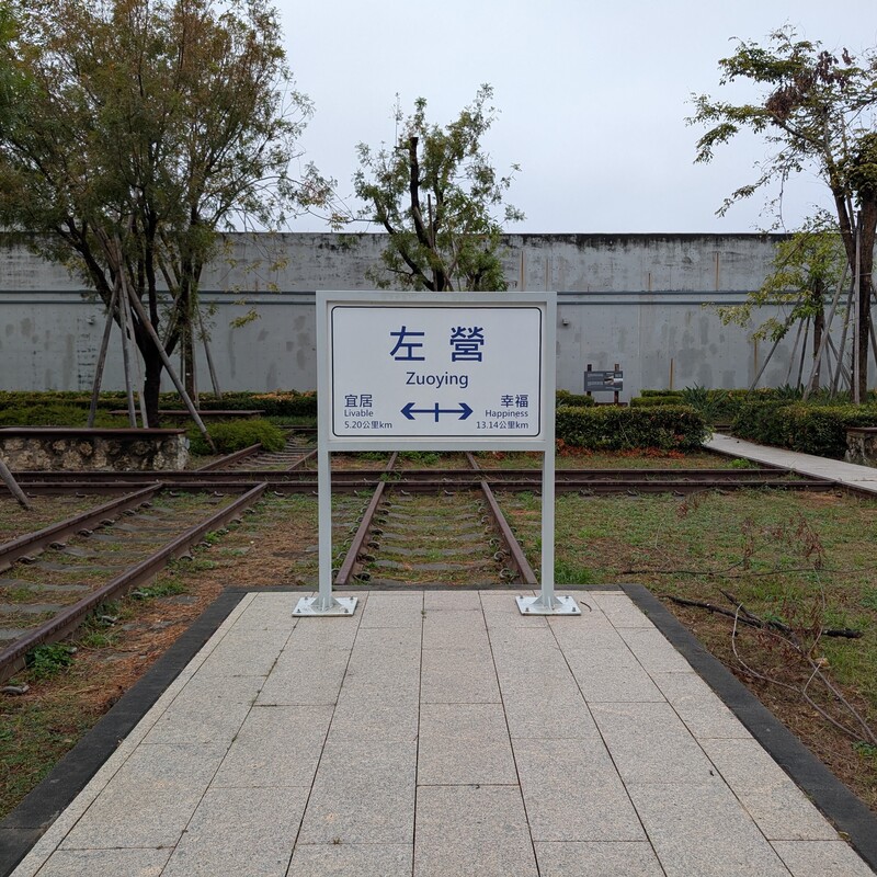
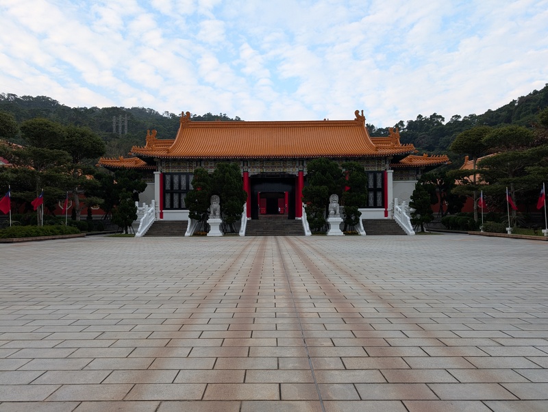
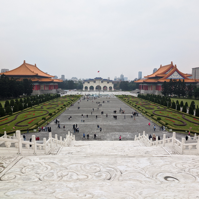
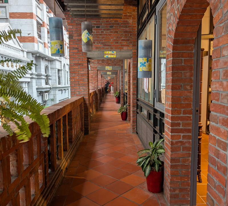
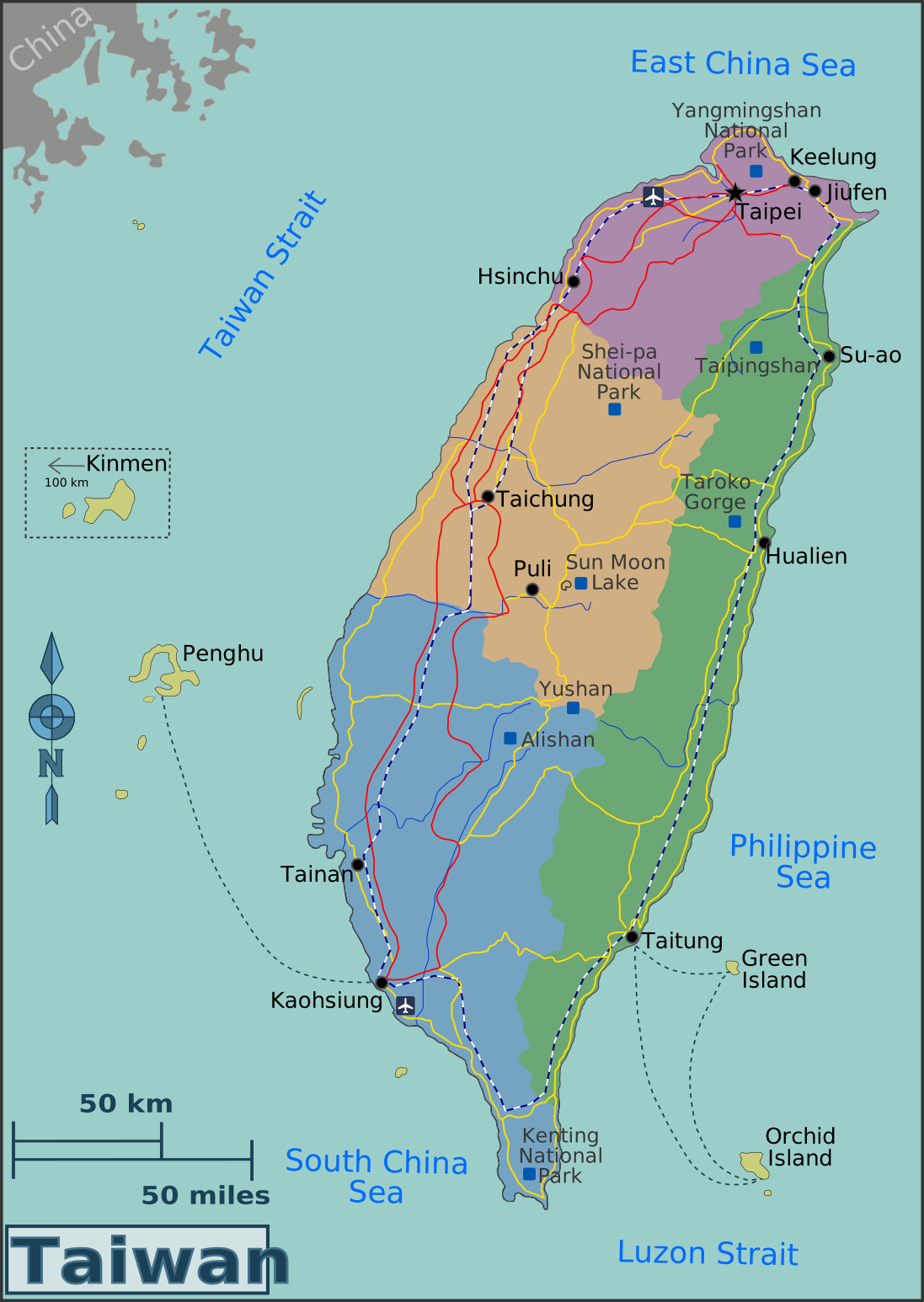
Taiwan is close to Japan, relatively inexpensive, and not particularly cold in the winter, which makes it an ideal destination for winter break. Although I had visited Taipei in 2019 for Julie & Max's wedding, that was a weekend trip with little time to see the country and the countryside. This vacation, there were more than enough days to visit Tainan and Kaohsiung in the south, and then Taipei and the surrounding area in the north.

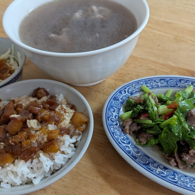
The food and drink were excellent everywhere, with "drink" referring to coffee, although tea lovers say that the tea is spectacular too. Food is interesting because spending more money doesn't make the taste improve. Google Maps and the night markets provided plenty of inexpensive eateries with exciting entrées.

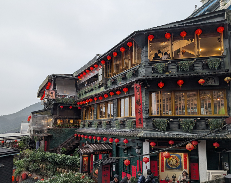
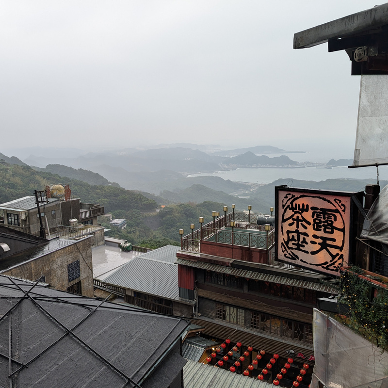
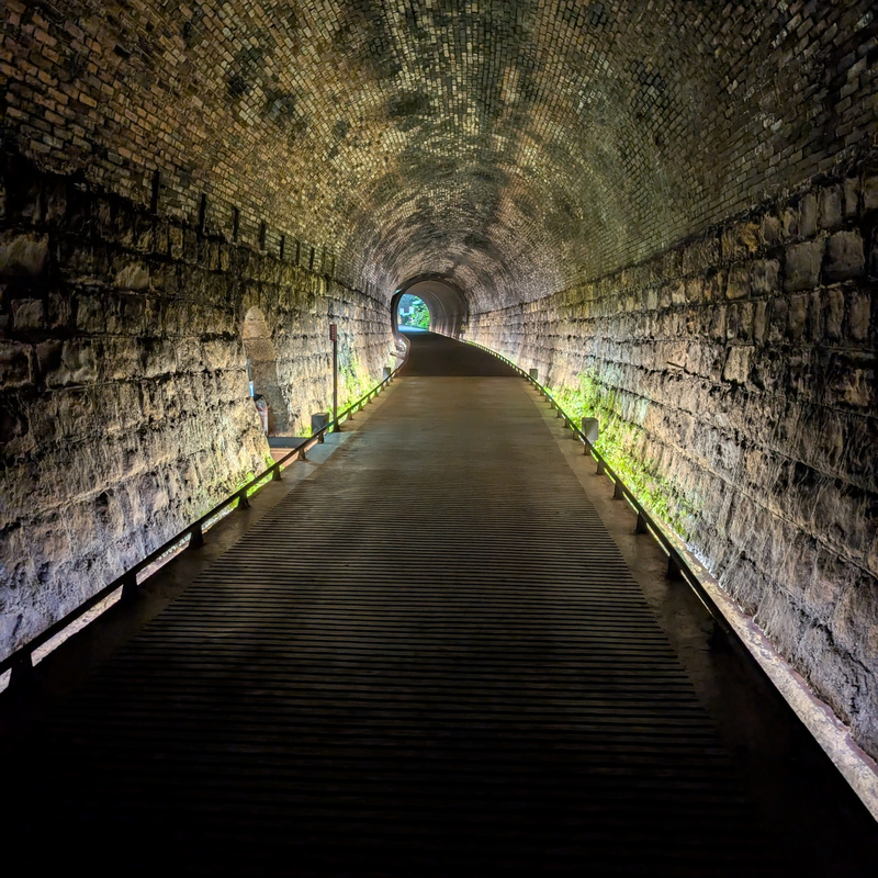
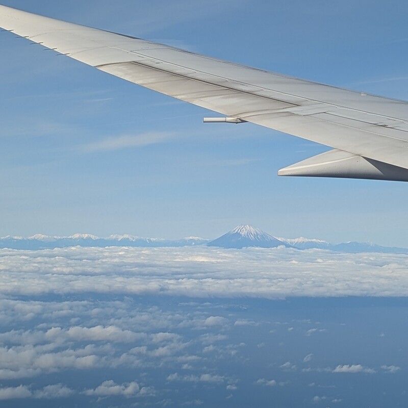
East of Taipei in a town called Jiufen, the A-Mei Teahouse, said to be the inspiration for Spirited Away, was quite amazing. The crowds arrive around 11AM, and if you get there early, before many shops open, have a serene stroll on the narrow sidewalks, all on the side of the mountain with a view of the sea. From that location, it's a jaunt down to Houtong, a coal mining town turned cat-themed village. Following that I went for a walk south and stumbled into the Sandiaoling Tunnel. Of course the signs for the tunnel, including useful information such as where it goes and how long it is, are all written in Chinese, but translation apps are boring, and it was more interesting to go inside and start walking... Apparently, the tunnel leads to a town called Mudan, which is not particularly notable for tourists, but it has a train station so you can get home after the spelunking session has concluded.

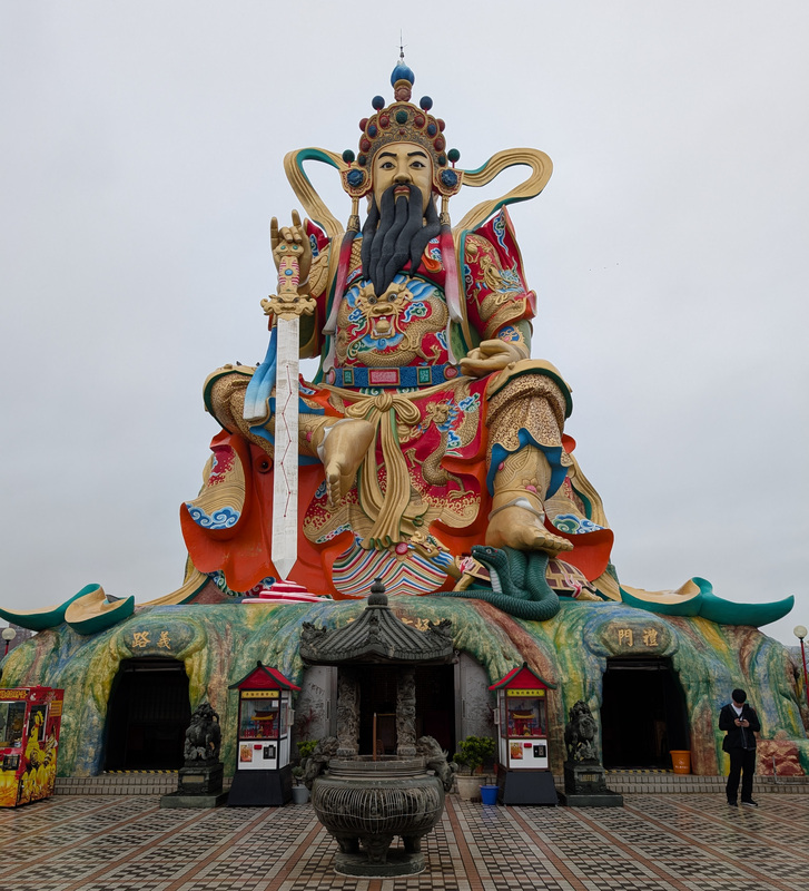
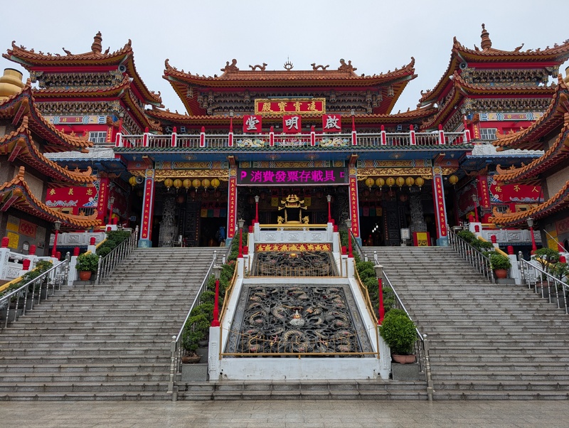
20241224.1.Yuandi.jpg 20241224.2.Chiming.jpg 20241224.3.Zuoying.jpg 20241224.4.Tunnel.jpg 20241225.1.Food.jpg 20241226.1.Shrine.jpg 20241227.1.A-Mei.jpg 20241227.2.Jiufen.jpg 20241227.3.Sandiaoling.jpg 20241228.1.Memorial.jpg 20241228.2.Dihua.jpg 20241230.1.Fuji.jpg

It's so easy to travel internationally these days. Google Translate makes ordering food relatively simple — just take a picture of the menu, or even screenshot a menu pic on Google Maps, and walk in ready to order — and OpenStreetMap and Google Maps make navigation a piece of cake. Many buses and trains in Taiwan, as in many countries, have signs with the stops in English, and to pay you swipe the card when boarding and disembarking, so you don't have to calculate fares or learn the numbers. Ideally we would all have time to study the language for a few months or years prior to visiting, because surely talking with the locals would make the journey even more rewarding, but that's easier said than done. Anyway, it was a fun trip.

Taiwan.svg


Hiking Oze

2024-08-28

I started climbing the peaks of Oze last summer and returned this summer for more adventure. Oze is a 4-hour drive from my house, and it's remarkably remote. The last real town is Uonuma, and heading east from Uonuma on Highway 352 brings two hours of hairpin turns and curves that look like malaria germs, naturally with no cell signal. What few people can be found are there for fishing, hiking, and hot springs. Some of the roads and villages are summer-only, and you get the feeling that it's just you up here. I climbed Mt. Naeba (Niigata), Mt. Echigo-Komagatake (Niigata), Mt. Aizu-Komagatake (Fukushima), and Mt. Hiragatake (Niigata), all on Japan's Top 100 Mountains list.

20240824.1.Naeba.jpg 20240824.2.Naeba.jpg 20240825.1.Echigokomagatake.jpg 20240826.1.Aizukomagatake.jpg 20240826.3.Aizukomagatake.jpg 20240826.4.Minamiaizu.jpg 20240826.5.Minamiaizu.jpg 20240827.1.Hiragatake.jpg

Some years ago, there were a great many free campgrounds in the country. These days you can find a few here and there, but what's more common are places that charge 500-1,000 yen for a night. Search online for 無料キャンプ場 and see what comes up. I prefer to use these basic campgrounds when hiking because your average campground is more likely to be designed for glamping and barbecuing. There's nothing wrong with those activities, but they tend to bring a noisier crowd and higher prices. Also, for some reason they tend to have "check-in by five" policies, which doesn't work well if you arrive after a long hike or drive. On the other hand, some commercial campgrounds have great views and facilities, and the crowds are a non-factor in the off-season. Either way, there's some beautiful nature to be found.

20240829.1.Oze.jpg