Mount Chokai
2013-02-18
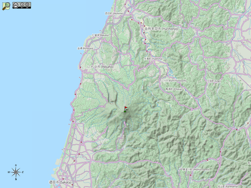
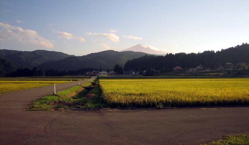
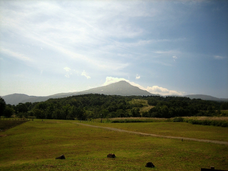
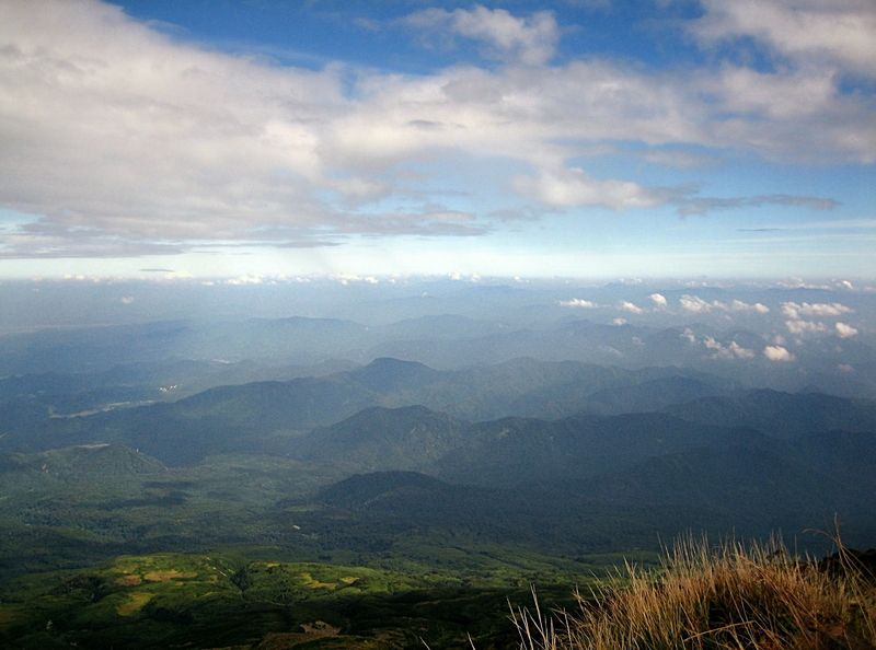
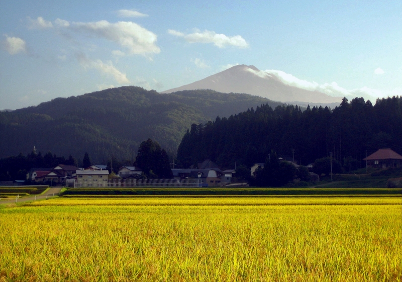
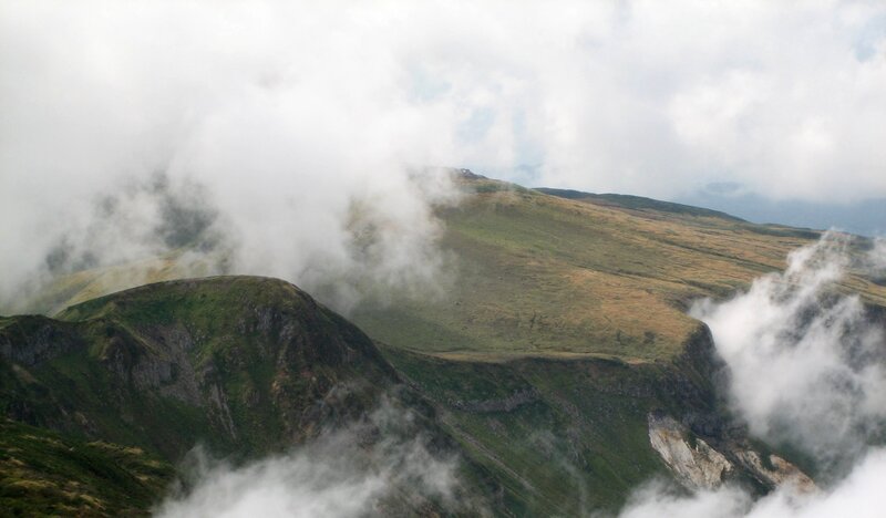
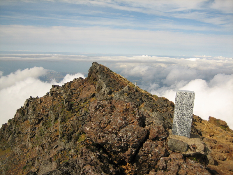
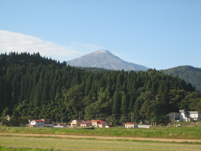
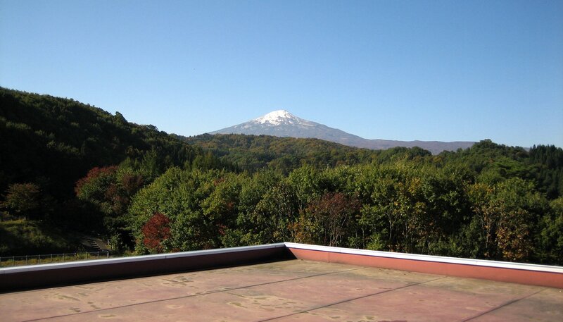
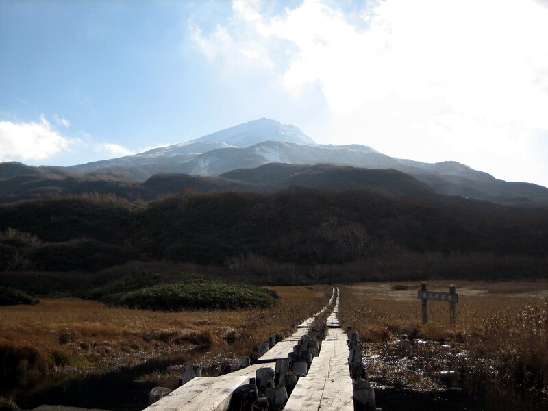
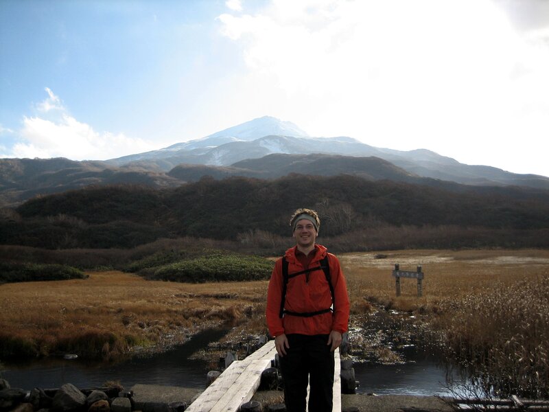
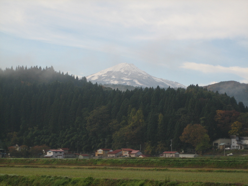
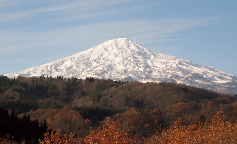
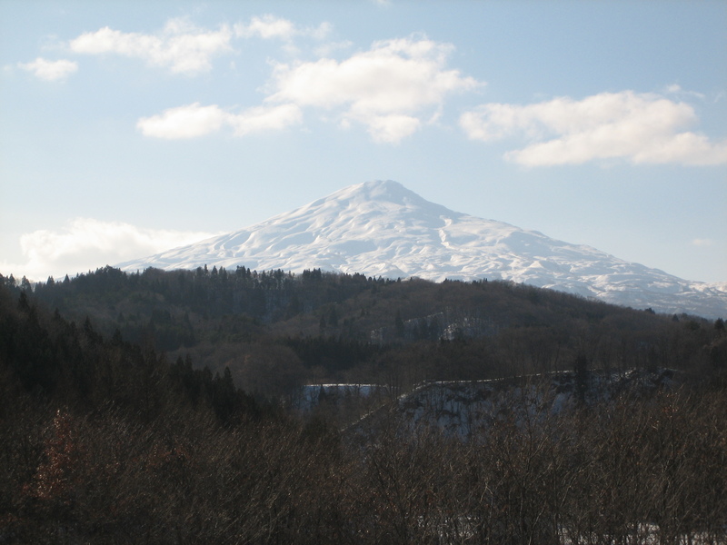
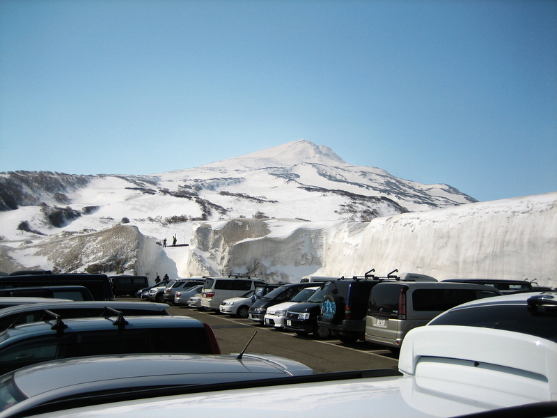
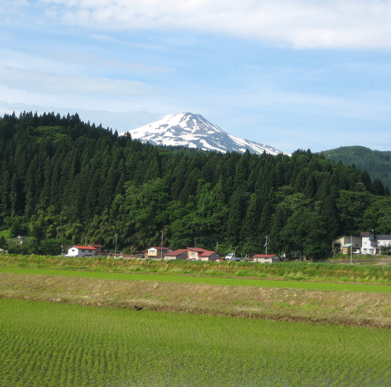
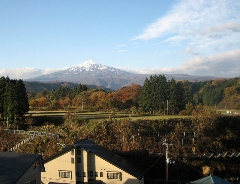
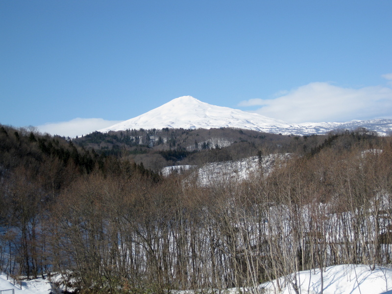
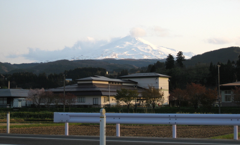
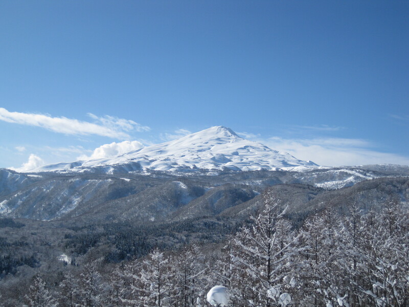
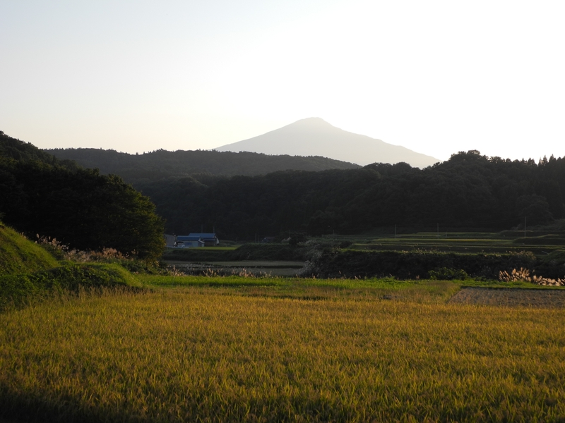
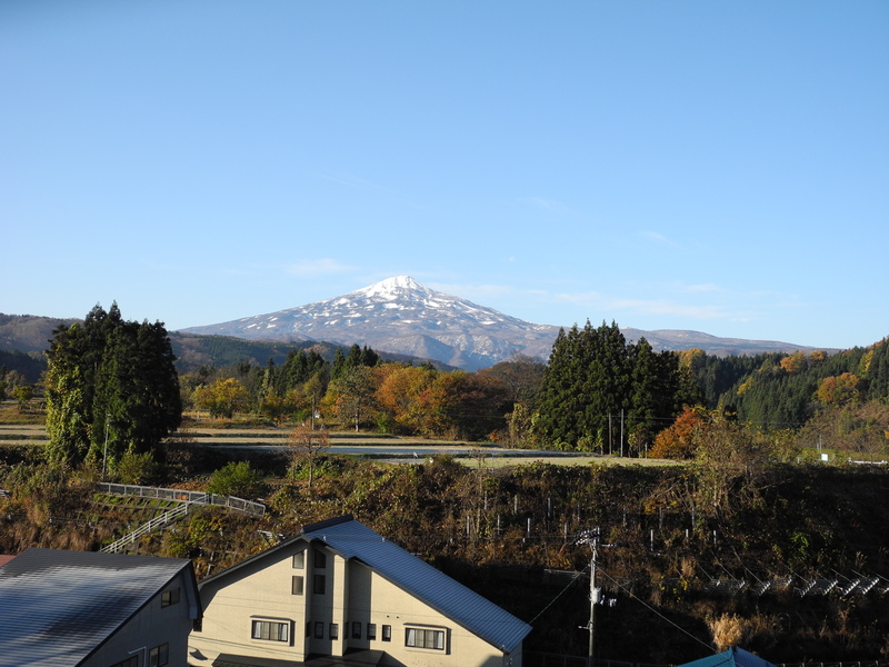
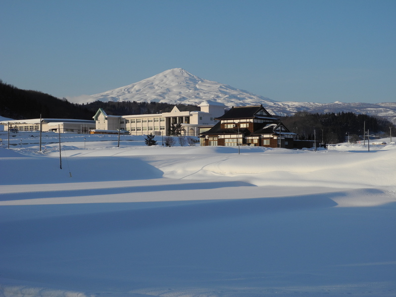
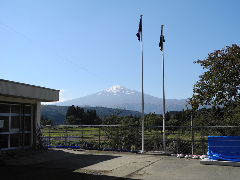
Here is a collection of pictures of Mount Chokai that I took when living in Akita. The earliest are from 2007, and the latest are from 2012. Most of the distant pictures are taken from the NE, because that's where I lived, and most of the trail pictures are on the trail from Haraikawa (祓川) to the summit.
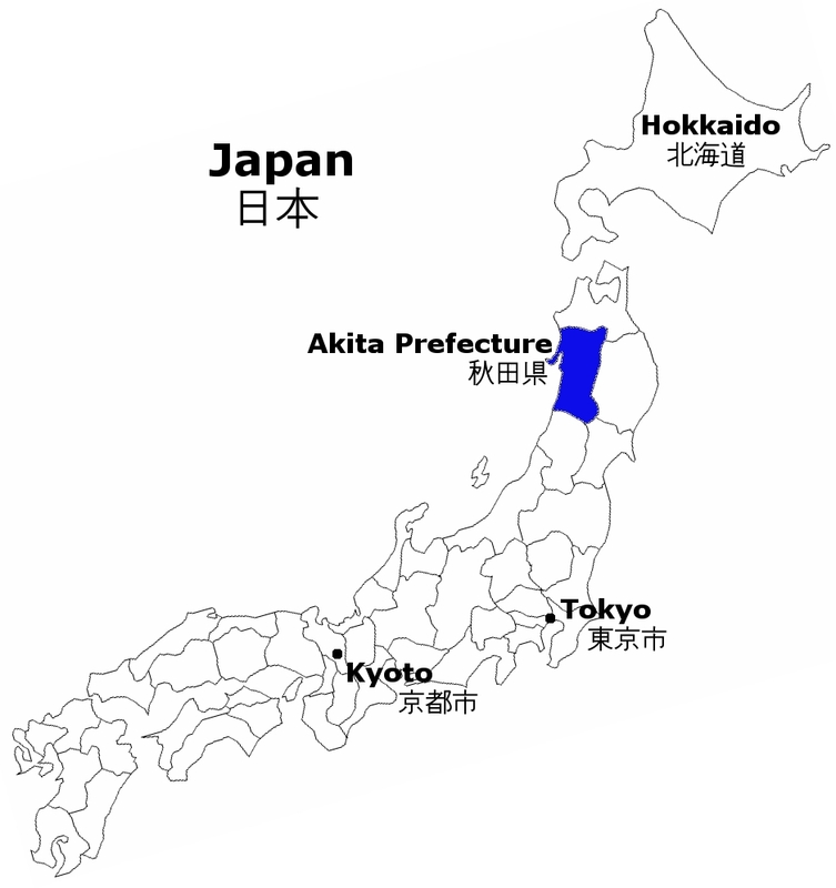
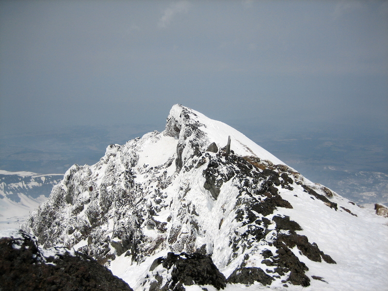
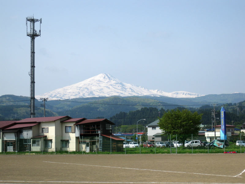
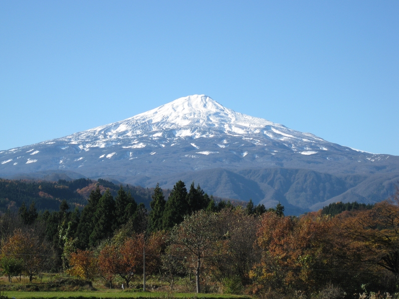
Mount Chōkai (鳥海山; Chōkai-san) is an active volcano located on the southern border of Akita and Yamagata in the Tohoku region of Japan, and is 2,236 m (7,336 ft) tall. Because of its (roughly) symmetrical shape and massive size, it is also known as Dewa no Fuji (出羽の富士) or by Akita natives as Akita Fuji. Mount Chōkai is regarded as sacred by followers of the Shugendō branch of Shinto and is popular with hikers....
Chōkai is the second tallest mountain in Tohoku after Mount Hiuchigatake in Fukushima Prefecture. Although Hiuchigatake in the south is technically the taller mountain, it lies on the border of Kanto Region in Gunma, and as such, Chōkai is thought by many to be the tallest true Tohoku mountain.
— Wikipedia (https://en.wikipedia.org/wiki/Mount_Chokai), 2013-02-18.
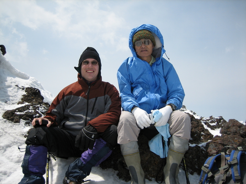
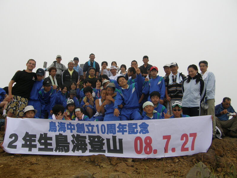
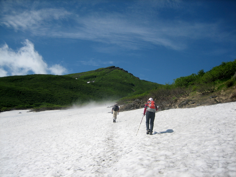
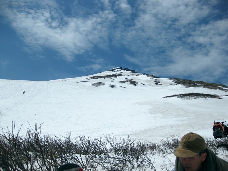
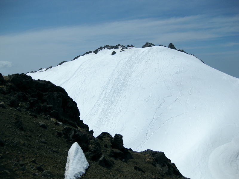
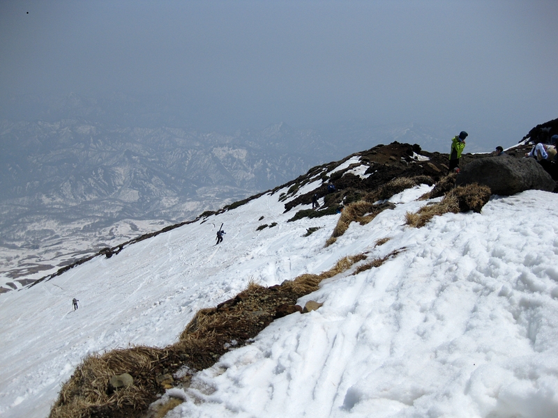
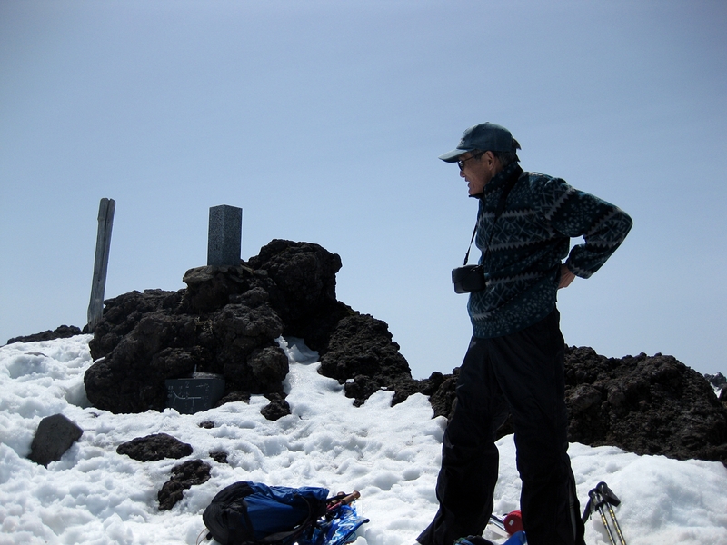
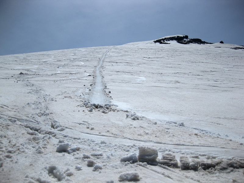
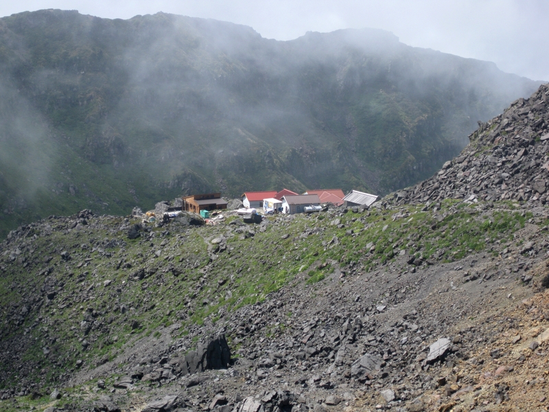
When I lived in Chokai Town, I climbed Mt. Chokai many times. In late summer and early fall, the weather is fairly good and the trail is clear of snow. Sometimes there are school trips up the mountain. In early May, the road to the trailhead at Haraikawa is plowed, and motivated individuals can walk up in the snow (followed by skiing, snowboarding, or sledding down). My school's music teacher, Mr. Murayama, took me along three springs in a row. We would have gone a fourth year, but the big 3/11 earthquake happened, and rather than go hiking, we did volunteer cleanup.
There is some good travel information on Chokai and the surrounding area, Yurihonjo, at WikiVoyage — see https://en.wikivoyage.org/wiki/Yurihonjo. As of 2013, the Yurihonjo article was written mostly by me, in case if you're interested in what places there I think are fun, interesting, or otherwise noteworthy.