Shimokita
2009-09-22
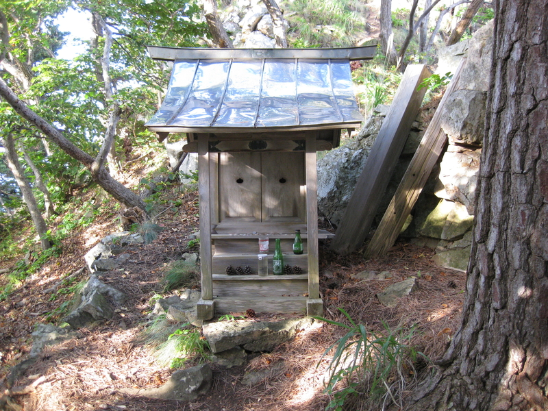
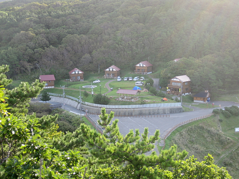
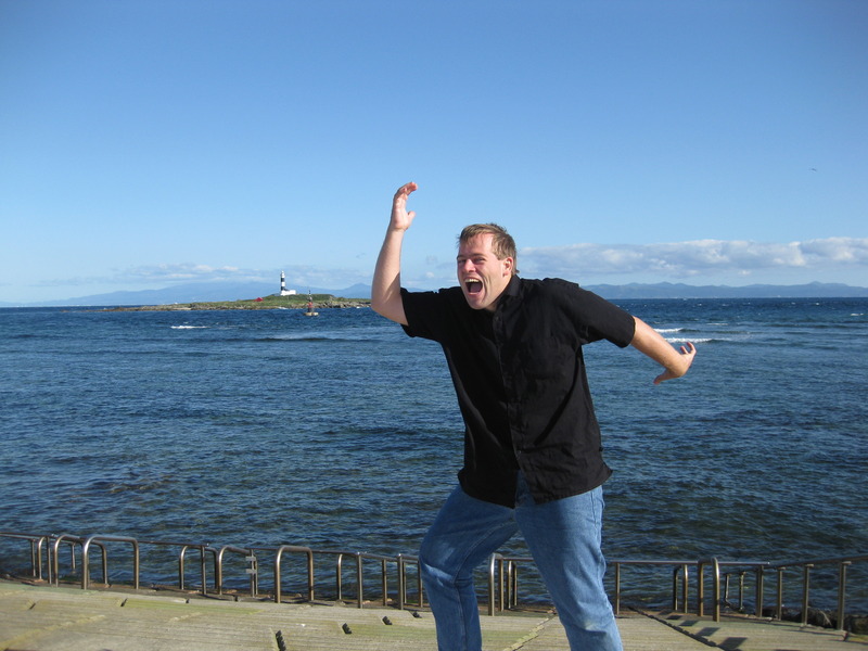
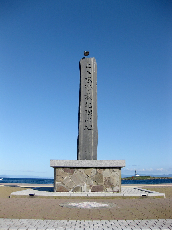
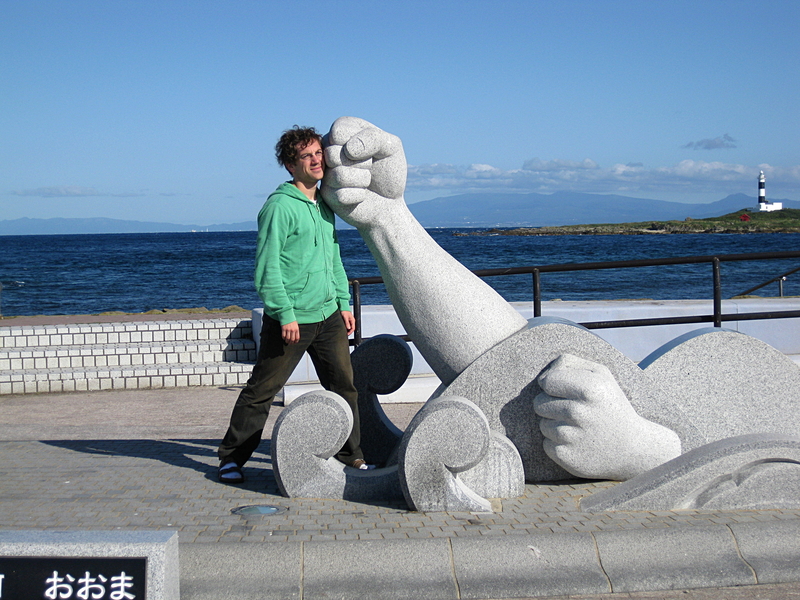
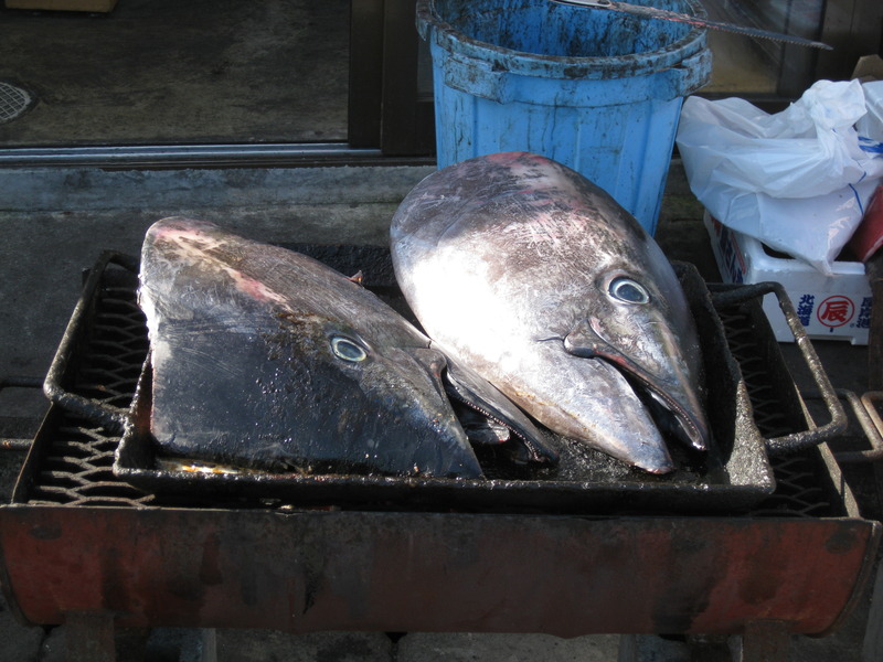
Around the Obon holiday break in the summer of 2009, David and I took a road trip through NE Aomori and northern Iwate. The goal was to reach the farthest northern point on Honshu, which is on the tip of the Shimokita Peninsula. The other goal was to go some place in the middle of nowhere and see what it looked like. On Honshu, it's hard to find truly remote places, and if you want to try, Aomori is your best bet, and if you're going for the most remote place in Aomori, the NE corner ranks at the top of the list. After all, it's really far from everything. There are no major cities or airports anywhere near it, and Aomori itself is already a long drive from anywhere else. David and I like driving, though, so we saw the distance as more challenge than obstacle. Below you can find some of my pictures from the trip.
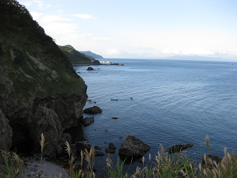
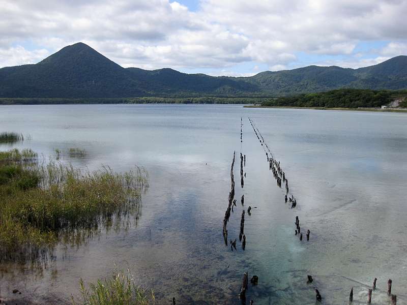
The Shimokita Peninsula (下北半島, Shimokita-hantō) is the remote northeastern cape of the Japanese island of Honshū, stretching out towards Hokkaidō. Administratively the area is a part of Aomori Prefecture.
Shaped like an axe pointing west, the peninsula has a thin "axe handle" connecting the mountainous "axe blade" to the mainland. The coasts maintain a thin scattering of population but the interior is practically uninhabited.
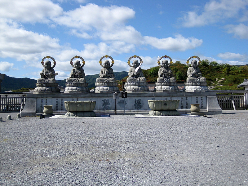
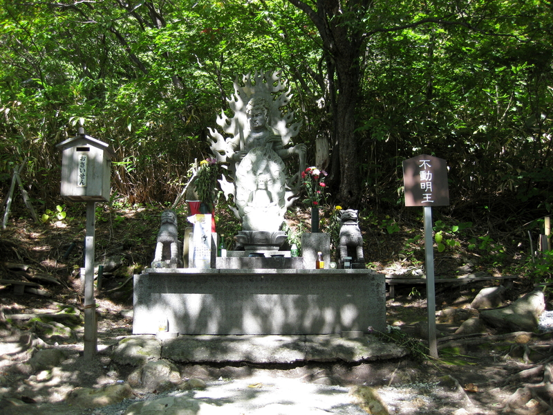
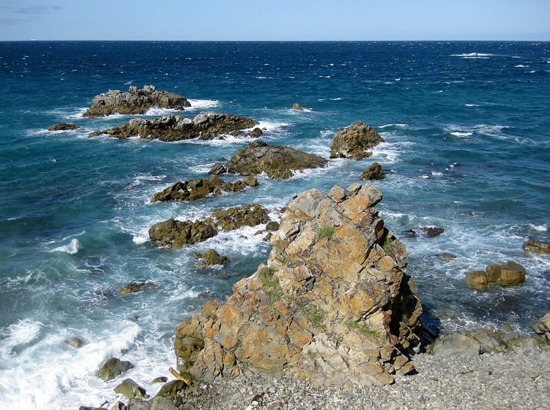
Shimokita is best known as the site of Mount Osore, the mythical Japanese location of the entrance to Hell. The lush Yagen Valley, known for its hot springs, is also located in Shimokita, as is Hotoke-ga-ura, wind-carved cliffs said to resemble Buddhas, and the village of Rokkasho, home to a range of nuclear facilities.
— Wikipedia (https://en.wikipedia.org/wiki/Shimokita_Peninsula). 2013-02-28.